The Cape May
Canal was built by the U.S. Army Corps of Engineers during the second world
war as a protected route to avoid German submarines operating off Cape
May Point and to become part of the Intracoastal Waterway System (ICW).
The canal extends about three miles from Cape May Harbor to the Delaware
Bay. There are three bridges across the canal: the link from the Garden
State Parkway into Cape May, the crossing of Seashore Road into West Cape
May, and the railroad bridge of the Cape
May Seashore Lines. During the warmer months of the year, the canal
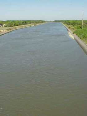
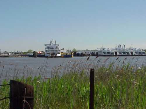
is filled with recreational boat traffic. The left picture below is taken
from the West Cape May bridge to the west toward the Delaware Bay. The
picture on the right shows the Cape May-Lewes Ferry slips near the Delaware
Bay mouth of the canal.
|